The Art of Geospatial Analysis:
Geospatial analysis brings a unique dimension to data interpretation, allowing us to unravel intricate stories that lie within the geography of our world.
My skills in this area encompass:
Geographic Information Systems (GIS):
Proficiency in GIS software and tools enables me to collect, manage, analyze, and visualize spatial data. From mapping demographic trends to assessing environmental impacts, GIS is the linchpin of my geospatial toolkit.
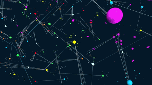
Spatial Statistics:
I use statistical techniques tailored to geospatial data, providing insights into spatial patterns, spatial autocorrelation, and hotspot analysis. These methods allow me to reveal hidden trends that traditional statistical approaches might overlook.
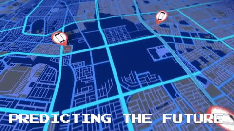
Customized Mapping:
My passion for geospatial analysis is channeled into creating customized, informative maps that convey information effectively. Whether it’s pinpointing the locations of critical assets or visualizing spatial clusters of data points, my maps are both functional and visually compelling.